Monday 28 February 2011

East to Whales and Dolphins

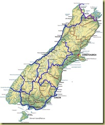
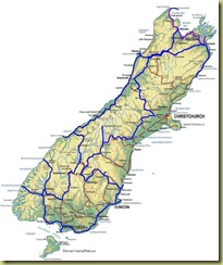
South Island to Kaikoura

There are not many choices of route from Jackson (near Greymouth) back over to the east coast. Having already driven many of the roads, we are heading north and then east in a general “north of Christchurch” direction, the exact route being decided when we find out how easy it is to get fuel (there have been some shortages because of the earthquake).

Leaving in the rain (does it do anything else on the West

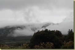
Clouds Jacksons Retreat

Coast we wonder), we head north and soon find that fuel is readily available and so decide to take the longer route choice to Blenheim. Although this takes us partly back along the same road we were on some three weeks earlier, we soon turn off into the Alpine Region – it really does feel like the French Alps and then into the endless vineyards of the Marlborough Region. One thing we do notice is the first traces of autumn in the leaves.

Blenheim is not regarded as somewhere of any value by our guide books, the emphasis being on the vineyards around it. We must say that its outskirts are truly appalling being factory warehouse estate design run riot and it is the only town we have been to in New Zealand where rubbish is very noticeable on the streets.

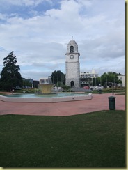
Seymour Square is said to be the best thing in town together with the clock tower so here is a picture of them:

Square Blenheim

We think that the trees in the square are far more interesting and look like they are straight out of one of the

Trees Square Trees Square-1

Narnia books and that they will talk to us at any moment.

Our primary destination is Kaikoura, a town a bit south but still on on the east coast which has become the de facto Whale Watching / Dolphin Swimming capital of New Zealand and we intend to do at least one of these. The advice is that any activity here is very weather dependent so we are allowing a spare day in case of cancellation (in which case we will go tramping).

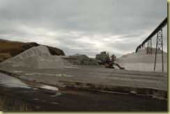
On the way south we pass a salt works at Lake Grassmere – the source of a lot

Salt Works

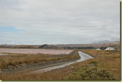
of New Zealand’s salt. Here the salt is sea salt and is produced by evaporation in large salt lakes – the saltier the

Salt Pan

water, the pinker the colour.

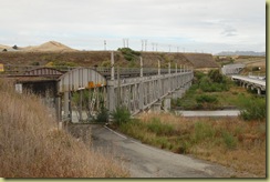
Bridge Blenheim

There is also what would have been a fairly unique bridge were it still in full operation – the standard single track bridge across a river (we have come to quite like these in New Zealand) but this time with a railway track on top (as against down the middle of the road which we experienced elsewhere). When opened, this bridge was greeted with such joy that Blenheim had a day’s holiday for everyone in the town and half of the town went down to the bridge to see the first traffic cross it. Now it just carries the railway.

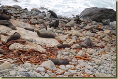
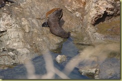
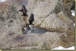
We also meet Fur Seals again at Opau Point – apparently

Lots of Seals  

the largest colony on the east coast.

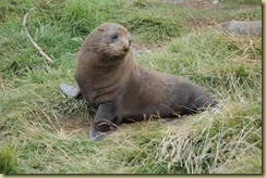
Looking Cute

There are indeed large numbers but some tourists seem to be getting far to close to them or between them and the sea and this

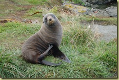
Scratching

makes them unsettled.

Playing with Kelp

The pups seem to be playing “killing large chunks of kelp”

Playing in pool

or learning swimming skills in saltwater pools in the rocks.

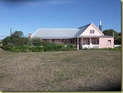
Whalers House

Kaikoura used to be a town where whale hunting was a big business but now whales are now watched rather than hunted – the history of the town and whaling however is illustrated by an original whaler’s house “Fyffe House” out on the bay. Inside, this house is much as it was in the 1800s and even the foundations of the house and fence posts are made from whale bone.

We have seen whales before on many occasions (Cape Cod, Australia and Antarctica being the most memorable) but we never tire of seeing and hearing them.

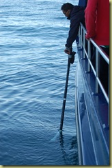
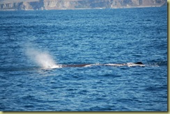
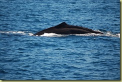
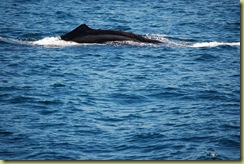
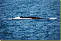
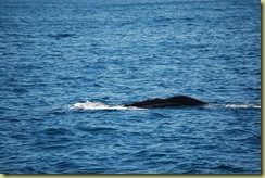
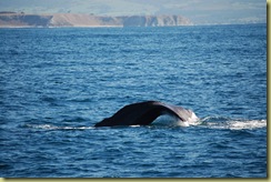
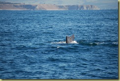
Our whale trip out into the bay finds only one sperm whale(not quite as many as everyone hoped for but you cannot control that) and we get to see it surface, rest and then dive. If the whales are not on the surface, then they are

Listening for Whales

located by listening for their clicks underwater.

Dive 1 Dive 2

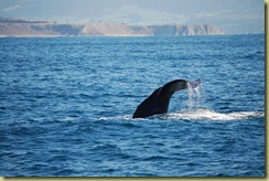
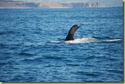
When a Sperm Whale starts its dive, it first arches is back and then you get the classic whale tail diving image. We were to one side of the whale but one can still see the shape.

Dive 3 DIve 4 Dive 5 Dive 6 Dive 7 Dive 8 Dive 9 Dive 10

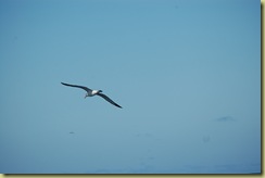
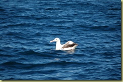
Also out there is an Albatross – a reminder of Antarctica.

Albatross in Air

Albatross

Similarly we have met dolphins before (Red Sea and Monkey Mia being the most memorable) but their charm means that one does not tire of them either.

Dolphin Encounter operate a “swim with or watch” trip and so we signed up expecting to see a couple of dolphins if we were lucky.

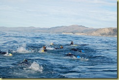
After a safety briefing, you get dressed and are driven to a small boat which sails out into the bay to a pod of dolphins,

In the water

and then those who are swimming quickly enter the water, dressed in thick wet suits (even though the water is relatively warm at 19c) and fin towards the dolphins.

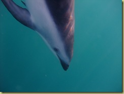
Close Up

You are quite firmly told that you are entering the dolphin’s environment and they will only come to see you if you are interesting to them. So we sing at the top of our underwater voices as we snorkel (UK viewers should listen carefully to the end of the video for The Archers theme tune and if you think that is bad, you trying singing through a snorkel whilst your head is under water!), if they spin around us then we try to follow them round, we also duck dive and generally try to act entertainingly demented.

Dolphin Close Up

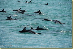
It obviously worked because on the third snorkel, there were over 400 dusky dolphins in the pod and

Lots of Dolphins

they were everywhere, swimming around us at high speed, singly or in groups. At times you did not know where to look next.

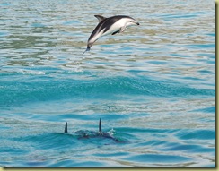
Showing Off-1

Dusky Dolphins are known for their acrobatics and they were leaping into the air and doing summersaults. No matter where you looked, there were large numbers of dolphins swimming, somersaulting or playing. It was a most extraordinary experience.

When they get a clear night sky here, it is really clear and it is easy to get away from light pollution. So we also went on an evening astronomy event where we first looked at the stars through binoculars and then through an 8” telescope. Saturn had just risen when we were out and so we were able to see it and its rings quite clearly. The number of stars in the Milky Way is quite astonishing and it stretched across the whole sky. The experience of looking at another galaxy (The Large Magellanic Cloud) 170,000 light years

image

away and seeing star light so very old makes you stop and think for a while, as does the size of the numbers involved in Astronomy  - the number of planets, the number of stars, the possible size of the galaxy etc.

Kaikoura is an interesting place with a lot of outdoor activities to do.
Thursday 24 February 2011

Keeping in touch; Heading across Arthur’s Pass

South Island to Jackson

The importance of being able to keep in touch with friends and family whilst travelling was emphasised this week by the earthquake.

We have two mobiles with us, one on a UK network (Vodafone) which has a good deal on overseas calls and one on a New Zealand network which we use out here for calls within NZ. Having a NZ based mobile is fairly essential when here because it enables you to book ahead as well as more easily summon help if you breakdown. Calls to freephone numbers are free from mobiles in New Zealand and that means that we often use our NZ mobile. Sim cards are available to purchase in most supermarkets and phone shops and it is simply a matter of buying and then registering the sim card with some credit. However there are numerous areas of the country with no mobile coverage either due to the physical geography (usually mountains) or the relative isolation.

New Zealand does not seem to have as good an internet backbone throughout rural parts of the country as some others we have been to, but never-the-less, Wifi is usually available somewhere and our netbook has been invaluable. Wifi or kiosk access is typically $5 an hour although the charge rate various dramatically depending on the whim of the site owner. Sometimes internet access is radio based rather than cable / phone and this is often slower than one is used to. Hence an email account which has a fallback to a low speed option (such as gmail) is very useful.
Our van has a TV but the strength of signal reception is very variable (usually poor) and FM radio really only seems to work in or close to cities.

Arthur’s Pass National Park

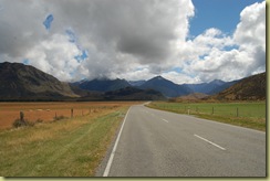
Heading away from Christchurch and inland takes us into the Arthur’s Pass National Park and what an amazing place it is.

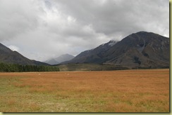
The landscape is big and challenging and it is absolutely obvious how much tectonic activity has taken place here in the past (and still is) to produce mountains of the number and grandeur we see before us.

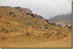
Castle Hill

Here is an element of Castle Hill – a hill (really a small mountain) where large boulders have been left behind and resemble the collapsed ramparts of a castle. This area was used as a location in “The Lion, the Witch and the Wardrobe”.

Mountains in Arthur's Park

Mountains in Arthur's Park 2

This is a section of a large valley landscape with enormous hills everywhere (when we get back we will stitch a few photos together to better show this view)

Bridge  

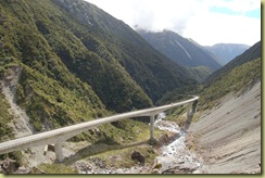
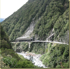
The mountains create their own engineering challenge solved in this case, by a road bridge which crosses a deep valley, has a steep gradient (about 1 in 5) and goes around a corner all at the same time. Unsurprisingly, the view from which this picture was taken before we crossed the bridge has the name “Death Corner” – driving it and the section of road which follows is a challenge for both driver and

image

passenger. One section of the road is so prone to avalanches that a protective barrier guides the debris over the road as well a waterfall. Building this road must have been a real challenge.

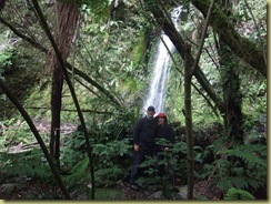
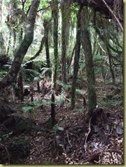
Tramping (as rambling or trekking is called out here) is a national past time and we have tried to participate whenever the opportunity presents itself. On a walk through

In the rain forest

one of the rain forests in the area, our objective was to get to a waterfall which was somewhere up in the forest.

The Waterfall

This we did but the trekking was hard and the flies active.

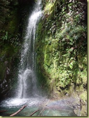
Waterfall and rainbow

The waterfall was worth the effort however and is not seen by many people because it is not signposted from the road and is tucked away high up in the hills. Had the water been warmer (or perhaps us braver), there is a nice pool at the bottom of the waterfall where you could swim. Never-the-less, it was a good spot for a picnic sandwich.

The same area of forest has glow worms which come out at night – they were not as bright as those in the Te Anau caves but it was nice to see them out in a forest.

Jackson's Tavern

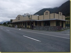
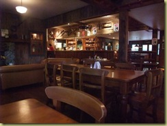
By the side of the main road on the way through Arthur’s Pass is Jacksons Tavern which dates back to the 1800s and has changed little since then other than some modernisation.

Tavern Inside

A good local beer, fresh food and interesting conversation was all provided. Pubs are a way of life out here, something we have not visited a lot because you can be very independent in a van.

We do not normally mention where we have been staying in this blog or how good or bad it was (we sometimes post reviews into Trip Advisor) – this is an exception. Because of the situation, we decided to stay at Jackson’s Retreat just west of Arthur’s Pass. It says its objective is “to be the best campsite in New Zealand”. In summary, we think they may have achieved it. If you pass down that road, do consider staying there.

Now north and east, how far depends on the fuel situation. Local garages are reporting that diesel is freely avail;able everywhere except central Christchurch where supplies are a bit difficult. Supermarkets are said to be well stocked – we will see.

Tuesday 22 February 2011

Questions and Mount Cook

South Island to Jackson

One of the things we have got into the habit of doing as we drive around is to write down questions which occur to us as we pass various places or things. We then look up the answers to these when we get home. I know you are now thinking that this is a bit peculiar and taking holiday research a bit far, but we are always curious about where we have been and we have the time to find the answers so why not!

Currently there are 26 questions and no doubt there will be more by the time we get home. Examples are:

What is £120 in 1848 worth now? This question came up because the Settlers Museum in Dunedin had an exhibit which said that settlers had to pay the New Zealand Company £120 in 1848 to buy various parcels of land in NZ when they decided to emigrate. It did not however say how much this was worth these days nor how much the cheapest £15 steerage ticket would have cost at current prices. We are wondering how much it cost to emigrate for someone on a non-subsidised ticket. The museum did not know.

Did the Maori have slaves? We saw a painting in Invercargill and they description of it referred to a Maori Chief handing some birds to a slave.

What are the dimensions of Lake Wanaka? (it is big and took a long time to drive around); what is the height of the Lewis Pass? (it seemed not to high when we drove over it); what information is available on the NZ sub-Antarctic islands? (we went to an exhibition about shipwrecks and wartime activity on them when in Invercargill); 1 metre of snow equals how much rain; etc etc.

Heading for Mount Cook

Having seen Mount Cook from one side we decided to see it from the other side. With a bit of juggling of our route and time, we have just enough time to fit it in on our way north.

The road north from the Gold Fields region is interesting and again, the landscape surprises us. Before we get to the interesting bits, we pass through the town of Cromwell which Rough Guide dismisses very brutally. We do however note the town statue which we assume is proudly displaying what the town in famous for.

Cromwell Fruit

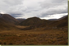
The road north passes through the Lindis Pass – nothing remarkable in that other than the fact that the countryside is again totally different to that we have experienced elsewhere.

Lindis Pass 3

Gone is the lush green and it is replaced by a burnt brown. Apparently this is not due to a lack of rain but due to the fact that the soil is very poor at holding rain and therefore it drains straight through.

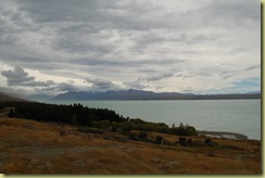
The road to Mount Cook is another long cul-de-sac running parallel to a lake. The views are large and wide

View up lake from Peters View

this valley was filled with the Tasman Glacier some 18,000 years ago.

Width of Mount Cook Valley

Mount Cook is a centre for tourists of all kinds who come to see this icon. As well as the thong brigade (aka those who wear flip flops not matter what the terrain or the occasion !), there are the tidy, clean pressed groups who stay in the local expensive hotel and those who go out to see more of the countryside whatever the weather.

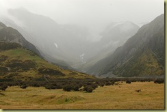
Mount Cook Valley

Apparently, Mount Cook is somewhere in the fog up the end of this valley.

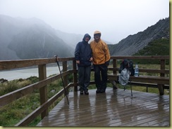
It is raining and so we set off on a walk to see the Muller Glacier at a place called Kea View.

Wet at Kea Point

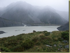
We got soaked of course and much of the landscape covered in fog

Kea View 2

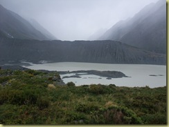
and we could not see the end of the Muller Glacier which

Kea View

supposedly can be seen from here (and all of the Keas were in bed).

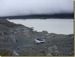
New Zealand's largest glacier, the Tasman Glacier is nearby and you can go out onto the melt water lake at its base in small boats to see icebergs and the glacier edge.

Glacial Boats

Although we have seen many icebergs in Antarctica, we have not seen inland trapped glacial icebergs before and so we set forth.

Boats in Harbour 

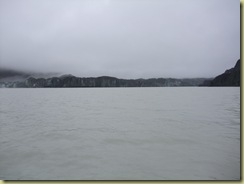
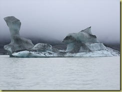
There are about ten bergs in the lake which have broken free from the glacial face or the ice shelf below the water at the face plus lots of bergy-bits.

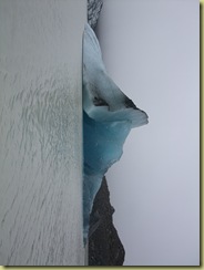
Glacier edge

This is the glacial edge from a distance of about 500m, it does not look much from here but it is too dangerous to go closer.

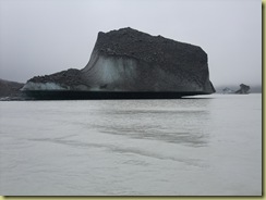
Iceberg

The bergs have lots of glacial debris in them (rocks etc) gathered as the ice moved down the glacier.

Iceberg-1

Most of the bergs have flipped in the water over the past few months, the above berg would have been

Iceberg-1

this way up a few months ago (you have to imagine that from the heavy midpoint line downwards would have been underwater etc)

Ice Berg

they constantly change their position as their centre of gravity changes. The tall pinnacle on the above berg will collapse soon and this could cause the remainder of the berg to rotate to a new position.

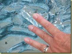
Pat and Ice

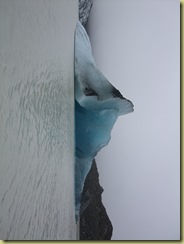
Ice from deep within the berg is crystal clear and very blue

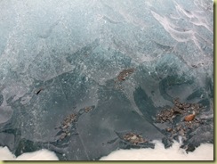
Stress and Gravel

but as soon as it is exposed to the air, it rapidly starts do develop stress fracture lines (top part of the above picture), crack and eventually melt. It was a very interesting trip and well managed with good explanations.

And then we set off towards Christchurch because our route takes us close to it as we head further north – then there was the earthquake. 

Postscript: Although 200 km away, the earthquake caused the collapse of a part of the face of the glacier which we had been viewing a few hours before. A 30 million tonne chunk of ice 1.2 km long by 300m high by 75 metres thick fell off the glacier face into the lake. This chunk has subsequently broken into smaller bergs up to 250 m long.